
ဝှာင်:Morocco location map.svg

Size of this PNG preview of this SVG file: ၇၃၇ × ၆၀၀ pixels. အရာမသ္ဂုတ်သွာတ်လဝ်ဂမၠိုၚ်: ၂၉၅ × ၂၄၀ pixels | ၅၉၀ × ၄၈၀ pixels | ၉၄၄ × ၇၆၈ pixels | ၁၂၅၉ × ၁၀၂၄ pixels | ၂၅၁၇ × ၂၀၄၈ pixels | ၁၂၂၃ × ၉၉၅ pixels တၞဟ်။
ဝှာင် တမ်မူလ (SVG ဝှာင်, မိက်ကဵုကသပ် ၁၂၂၃ × ၉၉၅ pixels, ဇမၞော် ဝှာင်: ၂၇၈ KB)
သကေမ်
| ကဵုယၟု |
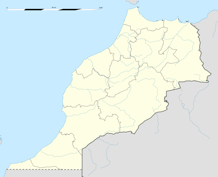
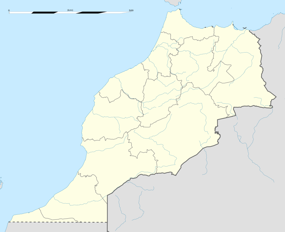
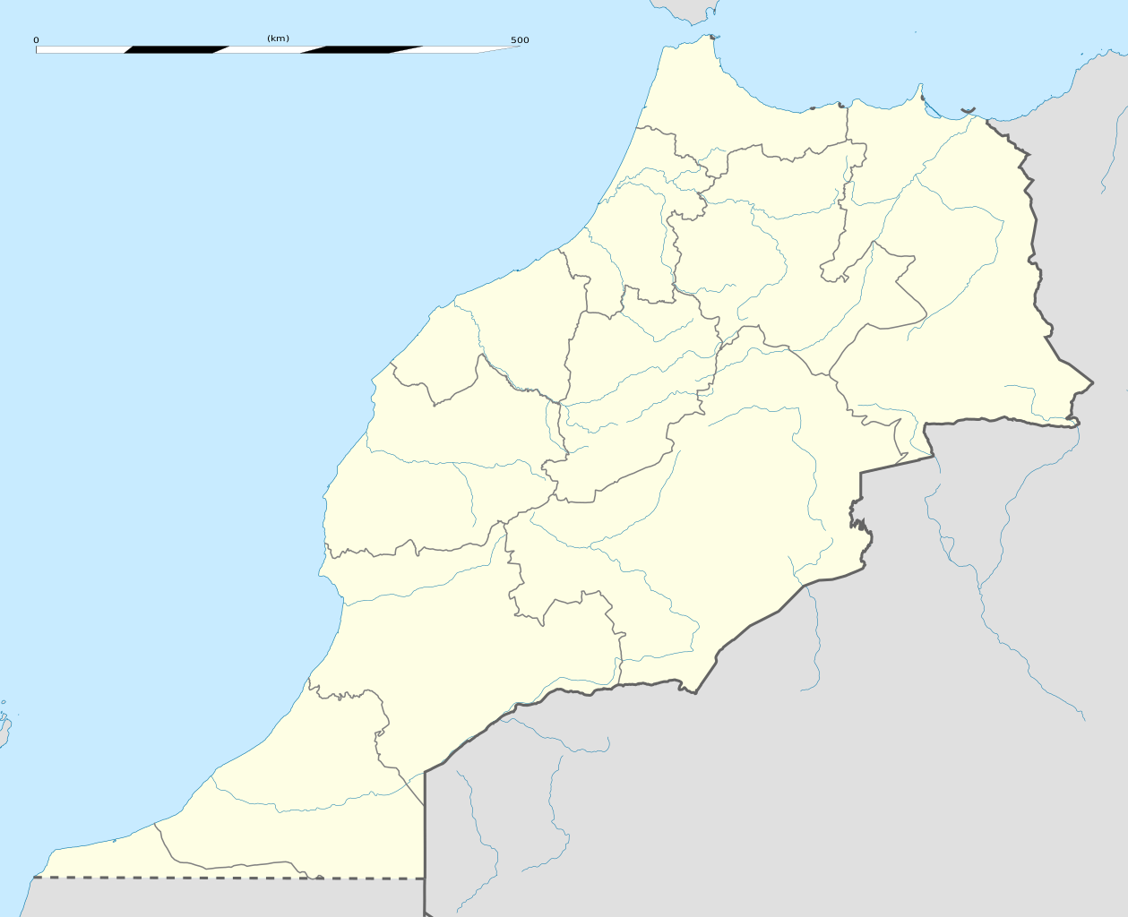
English: Blank administrative map of Morocco, for geo-location purposes.
Français : Carte administrative vierge du Maroc, destinée à la géolocalisation. Scale: 1:4,000,000 (precision: 1,000 m)
Geographic limits of the map:
|
||
| စၟတ်တ္ၚဲ | |||
| တမ်ရိုဟ် |
ကမၠောန် ဇကုအပိုင်
|
||
| ကဝိ | Eric Gaba (Sting - fr:Sting) | ||
| တင်မကဵုအခေါင် (ကလေင်သုင်စောဲ ဝှာင်ဏအ်) |
|
||
| အခြား ဗားရှင်းများ |
Derivative works of this file: Marruecos1909.PNG
|

| Camera location | | View this and other nearby images on: OpenStreetMap |
|---|
မသ္ဂုတ်သွာတ်လာင်ဇြေန်
ကျွန်ုပ်၊ ဤလုပ်ဆောင်ချက်၏ မူပိုင်ခွင့်ပိုင်ရှင်အနေဖြင့် ဤနေရာမှ အောက်ပါလိုင်စင်များအောက်တွင် ထုတ်လွှင့်ပါသည်:
ဝှာင်ဏအ်ဂှ် စၟတ်သမ္တီလဝ် နကဵုလာင်ဇြေန် Creative Commons Attribution-Share Alike 3.0 Unported ရ၊၊
- မၞးဂှ် ဗွဲမဗၠးၜး -
- သွက်ဂွံ ပါ်ပရအ် – သွက်ဂွံ စၠောအ်ပပ်ပဳ၊ တြးပတိတ်၊ ဗလး ကမၠောန်
- သွက်ဂွံ ပကောံနှဴ – သွက်ဂွံ ပလေဝ်ပညဳ ကမၠောန်
- နကဵု တင်မသ္ဒးဒ္ဂေတ်ဗက် ဗွဲသၟဝ်ဏအ်ဂှ်
- တင်မစှ်ေစိုတ် – မၞး သ္ဒးဒ္ဂေတ်ဗက် သၞောတ်ဝ် မဖျေဟ်လဝ် စပ်ကဵု အစာချူလိက် ဟွံသေင်မ္ဂး တၠမူတအ်ရောင်၊၊ (ဆဂး နကဵုနဲလဵု အကာဲအရာ ဗီုလဵုလေဝ် ဟွံကဵုကသပ် ဟွံထံက်ဂလာန် ကုမၞး ပ္ဍဲအရာမစကာ ဒြပ်ညးတၞဟ်တအ်ရောင်)။
- ပါ်ပရအ် အရာမတုပ်သၟဟ် – ယဝ်ရ မၞး ပလေဝ်၊ ပြံင်လှာဲ ဟွံသေင်မ္ဂး ထပ်ခၞံဗဒှ်တၟိမ္ဂး အရာကမၠောန်တအ် သီုဖအိုတ်ဂှ် သ္ဒးပရးပတိတ် နကဵုသၟဝ် မတုပ် ဟွံသေင်မ္ဂး မသၟဟ် ကုလာင်ဇြေန် ကမၠောန်တြေံဂှ် ဟေင်ရ၊၊

|
လိက်တအ်ဂှ် သၠးကဵုလဝ် အခေါင် သွက်ဂွံ စၠောအ်ကပ်ပဳ၊ ပရး ကီု သီုကဵု ပလေဝ်ပခိုဟ်ပတိုန် အတိုင်သၞောတ်ဝ် GNU Free Documentation License, တုဲ မူ ၁.၂ ဟွံသေင်မ္ဂး မူတြေံနူဂှ် မတြးပတိတ် နကဵု သၞောတ်ဝ်လာင်ဇြေန် Free Software Foundation; with no Invariant Sections, no Front-Cover Texts, and no Back-Cover Texts. A copy of the license is included in the section entitled GNU Free Documentation License. |
လာင်ဇြေန် မၞး မၞုံပၟိက်ဂှ် မၞးရုဲစှ်ကေတ် မာန်ရ၊၊
ဝှာင် လၟေင်အပြံင်အလှာဲ
ဍဵု လတူ စၟတ်တ္ၚဲ/အခိင် မွဲမွဲ သွက်ဂွံ ထ္ၜးကဵု ဝှာင် မကတဵုဒှ်လဝ် ပ္ဍဲအခိင်ဂှ်၊၊
| စၟတ်တ္ၚဲ/အခိင် | ဗီုပြင်နမူနာ | ပမာဏ | ညးလွပ် | တင်ပသောင်ကလး | |
|---|---|---|---|---|---|
| လၟုဟ် | ၀၈:၃၄၊ ၁၄ ဇာန်နဝါရဳ ၂၀၂၁ | | ၁၂၂၃ × ၉၉၅ (၂၇၈ KB) | Rais Namiq | Reverted to version as of 20:57, 27 December 2016 (UTC) |
| ၀၈:၂၈၊ ၁၄ ဇာန်နဝါရဳ ၂၀၂၁ |  | ၃၀၆၆ × ၃၁၄၆ (၁၇ KB) | Rais Namiq | Including Western Sahara | |
| ၀၃:၂၇၊ ၂၈ ဒဳဇြေမ်ဗါ ၂၀၁၆ |  | ၁၂၂၃ × ၉၉၅ (၂၇၈ KB) | Gajmar | 2015 regions (OSM data) | |
| ၀၃:၀၃၊ ၂၂ နဝ်ဝေမ်ဗါ ၂၀၀၉ |  | ၁၂၂၃ × ၉၉၅ (၂၃၇ KB) | Sting | Putting back the southern dotted boundary (regarding Western Sahara's location map) | |
| ၀၇:၅၂၊ ၂၁ နဝ်ဝေမ်ဗါ ၂၀၀၉ |  | ၁၂၂၃ × ၉၉၅ (၂၃၇ KB) | Sting | Several little corrections | |
| ၀၆:၄၁၊ ၂၁ နဝ်ဝေမ်ဗါ ၂၀၀၉ |  | ၁၂၂၃ × ၉၉၅ (၂၃၆ KB) | Sting | == {{int:filedesc}} == {{Location|31|46|30|N|7|04|30|W|scale:5000000}} <br/> {{Information |Description={{en|Blank administrative map of Morocco, for geo-location purposes.}} {{fr|Carte administrative vierge du Maroc, destin� |
ဝှာင် ဗီုဂွံစကာ
အရာမဆက်ဗက်ကၠုင် 2 pages link ကုဝှာင်ဏအ် ဂမၠိုင်ဂှ် -
ဝှာင် သွက်ဂွံသုင်စောဲ ဂလုပ်ဗဴ
ဗွဲသၟဝ်ဏအ်ဂှ် ဒှ်အရာ ဝဳကဳတၞဟ် မစကာလဝ် ဝှာင်ဏအ်၊၊
- ဗီုစကာ ပ္ဍဲ af.wikipedia.org
- ဗီုစကာ ပ္ဍဲ am.wikipedia.org
- ဗီုစကာ ပ္ဍဲ an.wikipedia.org
- ဗီုစကာ ပ္ဍဲ ar.wikipedia.org
- كأس الأمم الإفريقية 1988
- تيفلت
- قالب:خريطة مواقع المغرب
- سلا الجديدة
- واد القصب
- بطولة إفريقيا تحت 23 سنة لكرة القدم 2011
- قاعدة القنيطرة الجوية
- كأس العالم للأندية 2013
- بطولة إفريقيا تحت 17 سنة لكرة القدم 2013
- تلات نيعقوب
- ويكيبيديا:الميدان/تقنية/أرشيف/2013/يناير
- كأس العالم للأندية 2014
- قائمة مواقع التراث العالمي في المغرب
- قالب:خريطة مواقع التراث العالمي في المغرب
- بوابة:التراث العالمي/خريطة مختارة
- ويكيبيديا:الميدان/منوعات/أرشيف/2016/مارس
- مستخدم:Soufiane Izelgue/ملعب
- مطار سيدي إيفني
- بطولة أمم إفريقيا للمحليين 2018
- الترشيح المغربي لكأس العالم 2026
- كأس الأمم الإفريقية 2025
- كأس العالم للأندية 2022
- المدينة القديمة لتارودانت
- المعهد العالي للقضاء (المغرب)
- الدوري المغربي لكرة القدم 2020–21
- كأس الأمم الإفريقية تحت 23 سنة 2023
- الدوري المغربي لكرة القدم 2021–22
- الترشيح الإسباني البرتغالي المغربي لكأس العالم 2030
- الدوري المغربي لكرة القدم 2023–24
- ဗီုစကာ ပ္ဍဲ ast.wikipedia.org
ဗဵု more global usage ဝှာင်ဏအ်၊၊