
ဝှာင်:Blank map of Canada.svg

Size of this PNG preview of this SVG file: ၇၀၆ × ၅၉၉ pixels. အရာမသ္ဂုတ်သွာတ်လဝ်ဂမၠိုၚ်: ၂၈၃ × ၂၄၀ pixels | ၅၆၆ × ၄၈၀ pixels | ၉၀၅ × ၇၆၈ pixels | ၁၂၀၆ × ၁၀၂၄ pixels | ၂၄၁၃ × ၂၀၄၈ pixels | ၁၀၈၅ × ၉၂၁ pixels တၞဟ်။
ဝှာင် တမ်မူလ (SVG ဝှာင်, မိက်ကဵုကသပ် ၁၀၈၅ × ၉၂၁ pixels, ဇမၞော် ဝှာင်: ၈၂ KB)
သကေမ်
| ကဵုယၟု |
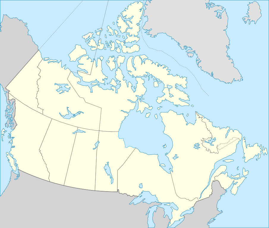
Deutsch: Karte von Kanada. English: Blank map showing territory governed by provinces and territories of Canada. Español: Mapa de Canadá. Français : Carte vierge montrant les provinces et les territoires du Canada. |
| စၟတ်တ္ၚဲ | (UTC) |
| တမ်ရိုဟ် | |
| ကဝိ |
|
| အခြား ဗားရှင်းများ | Derivative works of this file: Лабрадорско Море.svg |
.svg)
| This is a retouched picture, which means that it has been digitally altered from its original version. Modifications: Français : Ajout de certains lacs et frontières English: Added few borders and lakes . The original can be viewed here: Carte du Québec au sein du Canada.svg:
|
မသ္ဂုတ်သွာတ်လာင်ဇြေန်
ဝှာင်ဏအ်ဂှ် စၟတ်သမ္တီလဝ် နကဵုလာင်ဇြေန် Creative Commons Attribution-Share Alike 3.0 Unported ရ၊၊
- မၞးဂှ် ဗွဲမဗၠးၜး -
- သွက်ဂွံ ပါ်ပရအ် – သွက်ဂွံ စၠောအ်ပပ်ပဳ၊ တြးပတိတ်၊ ဗလး ကမၠောန်
- သွက်ဂွံ ပကောံနှဴ – သွက်ဂွံ ပလေဝ်ပညဳ ကမၠောန်
- နကဵု တင်မသ္ဒးဒ္ဂေတ်ဗက် ဗွဲသၟဝ်ဏအ်ဂှ်
- တင်မစှ်ေစိုတ် – မၞး သ္ဒးဒ္ဂေတ်ဗက် သၞောတ်ဝ် မဖျေဟ်လဝ် စပ်ကဵု အစာချူလိက် ဟွံသေင်မ္ဂး တၠမူတအ်ရောင်၊၊ (ဆဂး နကဵုနဲလဵု အကာဲအရာ ဗီုလဵုလေဝ် ဟွံကဵုကသပ် ဟွံထံက်ဂလာန် ကုမၞး ပ္ဍဲအရာမစကာ ဒြပ်ညးတၞဟ်တအ်ရောင်)။
- ပါ်ပရအ် အရာမတုပ်သၟဟ် – ယဝ်ရ မၞး ပလေဝ်၊ ပြံင်လှာဲ ဟွံသေင်မ္ဂး ထပ်ခၞံဗဒှ်တၟိမ္ဂး အရာကမၠောန်တအ် သီုဖအိုတ်ဂှ် သ္ဒးပရးပတိတ် နကဵုသၟဝ် မတုပ် ဟွံသေင်မ္ဂး မသၟဟ် ကုလာင်ဇြေန် ကမၠောန်တြေံဂှ် ဟေင်ရ၊၊
မူရင်းတင်ထားသောမှတ်တမ်း
This image is a derivative work of the following images:
- File:Canada_(geolocalisation).svg licensed with Cc-by-sa-2.5,2.0,1.0, Cc-by-sa-3.0-migrated, GFDL
- 2007-02-07T01:48:11Z STyx 1084x920 (95884 Bytes) retouche mineure
- 2007-02-07T01:41:09Z STyx 1084x920 (95939 Bytes) {{Created with Inkscape}} {{Information |Description= *{{fr}} Version recadrée et épurée de [[:Image:Carte administrative du Canada.svg]] pour la géolocation du Canada. Le cadrage est x=80px, y=166px, height=920, width=10
- File:Carte_du_Québec_au_sein_du_Canada.svg licensed with Cc-by-sa-3.0,2.5,2.0,1.0, FAL
- 2011-12-08T14:56:55Z Riba 1083x919 (82028 Bytes) Minor corrections of colors.
- 2011-09-27T19:51:30Z Sémhur 1083x919 (77011 Bytes) == {{int:filedesc}} == {{Information |Description={{Multilingual description |en= Blank map showing [[:en:Québec|]] in Canada, in red, with the disputed area between Quebec and Labrador, in pink. |fr= Carte montrant le [[:fr
Uploaded with derivativeFX
ဝှာင် လၟေင်အပြံင်အလှာဲ
ဍဵု လတူ စၟတ်တ္ၚဲ/အခိင် မွဲမွဲ သွက်ဂွံ ထ္ၜးကဵု ဝှာင် မကတဵုဒှ်လဝ် ပ္ဍဲအခိင်ဂှ်၊၊
| စၟတ်တ္ၚဲ/အခိင် | ဗီုပြင်နမူနာ | ပမာဏ | ညးလွပ် | တင်ပသောင်ကလး | |
|---|---|---|---|---|---|
| လၟုဟ် | ၀၄:၄၀၊ ၁၅ ဒဳဇြေမ်ဗါ ၂၀၁၁ | | ၁၀၈၅ × ၉၂၁ (၈၂ KB) | Riba | == {{int:filedesc}} == {{Information |Description={{Multilingual description |en= Blank map showing provinces and territories of Canada. |fr= Carte vierge montrant les provinces et les territoires du Canada. |de=Karte von Kanada. |es=Mapa de Canadá.}} |S |
ဝှာင် ဗီုဂွံစကာ
မုက်လိက် မရပ်စပ် ဝှာင်ဏအ် ဟွံမဲ၊၊
ဝှာင် သွက်ဂွံသုင်စောဲ ဂလုပ်ဗဴ
ဗွဲသၟဝ်ဏအ်ဂှ် ဒှ်အရာ ဝဳကဳတၞဟ် မစကာလဝ် ဝှာင်ဏအ်၊၊
- ဗီုစကာ ပ္ဍဲ en.wikipedia.org
- ဗီုစကာ ပ္ဍဲ es.wikipedia.org
- Aeropuerto Toronto City Centre
- Aeropuerto Internacional James Armstrong Richardson
- Aeropuerto Internacional de Halifax-Stanfield
- Aeropuerto Internacional de Edmonton
- Aeropuerto Internacional de Ottawa
- Aeropuerto Internacional de Saskatoon-John G. Diefenbaker
- Aeropuerto Internacional de Calgary
- Aeropuerto Internacional de San Juan de Terranova
- Aeropuerto Internacional Jean-Lesage de Quebec
- Aeropuerto Internacional del Gran Moncton
- Aeropuerto Internacional de London
- Aeropuerto de Fort McMurray
- Aeropuerto Internacional de Kelowna
- Aeropuerto Internacional de Regina
- Aeropuerto Internacional de Victoria
- Aeropuerto Internacional de Hamilton-Munro
- Aeropuerto Internacional de Abbotsford
- Aeropuerto Internacional de la Región de Waterloo
- Aeropuerto de Saint John
- Jardín botánico de Toronto
- Jardines Ornamentales de Ottawa
- ဗီုစကာ ပ္ဍဲ fa.wikipedia.org
- ဗီုစကာ ပ္ဍဲ fr.wikipedia.org
- Catégorie:Politique au Canada par province ou territoire
- Catégorie:Entreprise ayant son siège au Canada par province ou territoire
- Catégorie:Enseignement au Canada par province ou territoire
- Catégorie:Sport au Canada par province ou territoire
- Catégorie:Géographie du Canada par province ou territoire
- Catégorie:Aire protégée fédérale au Canada par province ou territoire
- Catégorie:Droit au Canada par province ou territoire
- Catégorie:Transport au Canada par province ou territoire
- Catégorie:Média au Canada par province ou territoire
- Catégorie:Environnement au Canada par province ou territoire
- Catégorie:Naissance au Canada par province ou territoire
- Catégorie:Décès au Canada par province ou territoire
- Catégorie:Histoire du Canada par province ou territoire
- Catégorie:Bâtiment au Canada par province ou territoire
- Catégorie:Équipement sportif au Canada par province ou territoire
- Catégorie:Pont au Canada par province ou territoire
- Catégorie:Aire protégée au Canada par province ou territoire
- Catégorie:Club sportif au Canada par province ou territoire
- Catégorie:Île au Canada par province ou territoire
- Catégorie:Énergie au Canada par province ou territoire
- Catégorie:Économie au Canada par province ou territoire
ဗဵု more global usage ဝှာင်ဏအ်၊၊