
ဝှာင်:Northern England location map.PNG
ဇမၞော် နမူနာ ဏအ် - ၆၃၀ × ၆၀၀ pixels အရာမသ္ဂုတ်သွာတ်လဝ်ဂမၠိုၚ်: ၂၅၂ × ၂၄၀ pixels | ၅၀၄ × ၄၈၀ pixels | ၈၀၇ × ၇၆၈ pixels | ၁၀၇၆ × ၁၀၂၄ pixels | ၁၄၁၃ × ၁၃၄၅ pixels တၞဟ်။
ဝှာင် တမ်မူလ (၁၄၁၃ × ၁၃၄၅ pixels, file size: ၁၃၂ KB, MIME type: image/png)
| ကဵုယၟု |
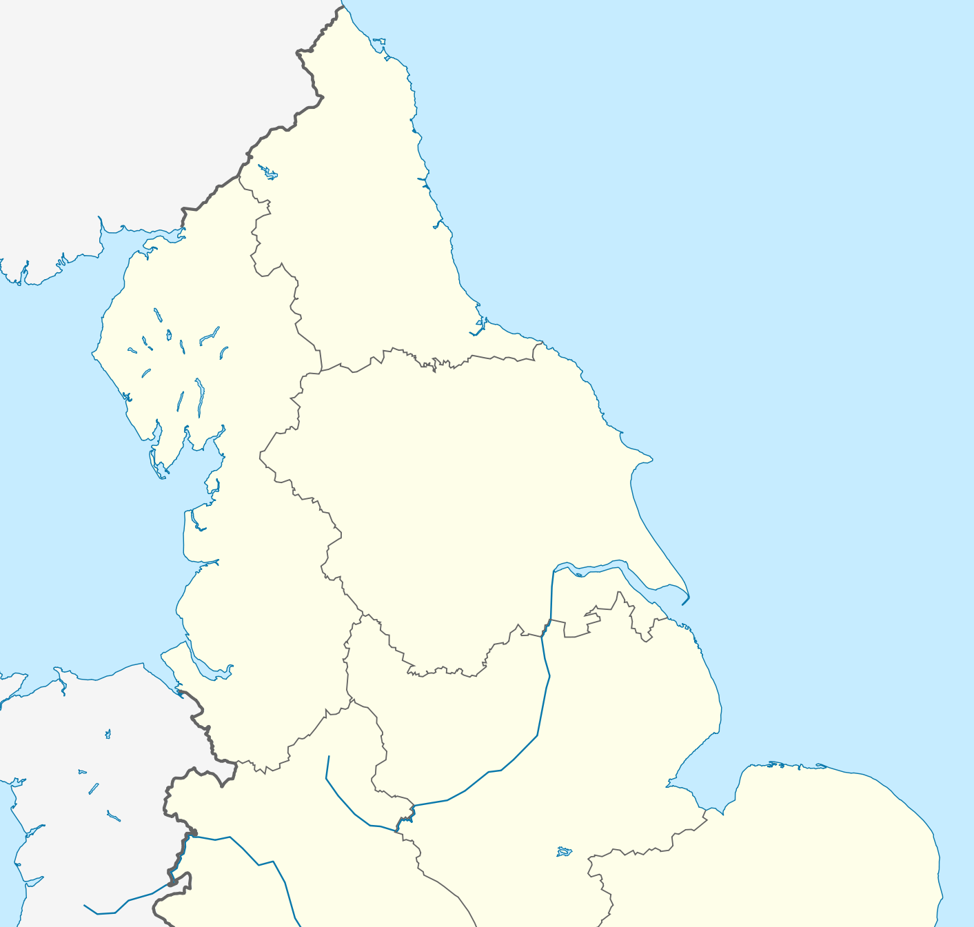
English: Location map of Northern England Equirectangular projection, N/S stretching 170 %. Geographic limits of the map: * N: 56.0° N * S: 52.33° N * W: 4.17° W * E: 2.0° E |
| စၟတ်တ္ၚဲ | (UTC) |
| တမ်ရိုဟ် | |
| ကဝိ |
|
| This is a retouched picture, which means that it has been digitally altered from its original version. Modifications: Zoomed into Northern England. The original can be viewed here: England location map.svg:
|
ကျွန်ုပ်၊ ဤလုပ်ဆောင်ချက်၏ မူပိုင်ခွင့်ပိုင်ရှင်အနေဖြင့် ဤနေရာမှ အောက်ပါလိုင်စင်အောက်တွင် ထုတ်လွှင့်ပါသည်:
ဝှာင်ဏအ်ဂှ် စၟတ်သမ္တီလဝ် နကဵုလာင်ဇြေန် Creative Commons Attribution-Share Alike 3.0 Unported ရ၊၊
- မၞးဂှ် ဗွဲမဗၠးၜး -
- သွက်ဂွံ ပါ်ပရအ် – သွက်ဂွံ စၠောအ်ပပ်ပဳ၊ တြးပတိတ်၊ ဗလး ကမၠောန်
- သွက်ဂွံ ပကောံနှဴ – သွက်ဂွံ ပလေဝ်ပညဳ ကမၠောန်
- နကဵု တင်မသ္ဒးဒ္ဂေတ်ဗက် ဗွဲသၟဝ်ဏအ်ဂှ်
- တင်မစှ်ေစိုတ် – မၞး သ္ဒးဒ္ဂေတ်ဗက် သၞောတ်ဝ် မဖျေဟ်လဝ် စပ်ကဵု အစာချူလိက် ဟွံသေင်မ္ဂး တၠမူတအ်ရောင်၊၊ (ဆဂး နကဵုနဲလဵု အကာဲအရာ ဗီုလဵုလေဝ် ဟွံကဵုကသပ် ဟွံထံက်ဂလာန် ကုမၞး ပ္ဍဲအရာမစကာ ဒြပ်ညးတၞဟ်တအ်ရောင်)။
- ပါ်ပရအ် အရာမတုပ်သၟဟ် – ယဝ်ရ မၞး ပလေဝ်၊ ပြံင်လှာဲ ဟွံသေင်မ္ဂး ထပ်ခၞံဗဒှ်တၟိမ္ဂး အရာကမၠောန်တအ် သီုဖအိုတ်ဂှ် သ္ဒးပရးပတိတ် နကဵုသၟဝ် မတုပ် ဟွံသေင်မ္ဂး မသၟဟ် ကုလာင်ဇြေန် ကမၠောန်တြေံဂှ် ဟေင်ရ၊၊
မူရင်းတင်ထားသောမှတ်တမ်း
This image is a derivative work of the following images:
- File:England_location_map.svg licensed with Cc-by-sa-3.0
- 2010-03-12T22:58:19Z Spischot 816x991 (468569 Bytes) {{Information |Description= {{de|Positionskarte von [[:de:England|]]}} Quadratische Plattkarte, N-S-Streckung 170 %. Geographische Begrenzung der Karte: * N: 56.0° N * S: 49.75° N * W: 6.75° W * O: 2.0° O {{en|Location
Uploaded with derivativeFX
ဝှာင် လၟေင်အပြံင်အလှာဲ
ဍဵု လတူ စၟတ်တ္ၚဲ/အခိင် မွဲမွဲ သွက်ဂွံ ထ္ၜးကဵု ဝှာင် မကတဵုဒှ်လဝ် ပ္ဍဲအခိင်ဂှ်၊၊
| စၟတ်တ္ၚဲ/အခိင် | ဗီုပြင်နမူနာ | ပမာဏ | ညးလွပ် | တင်ပသောင်ကလး | |
|---|---|---|---|---|---|
| လၟုဟ် | ၀၆:၄၇၊ ၁၈ ဨပြဳ ၂၀၁၄ | | ၁၄၁၃ × ၁၃၄၅ (၁၃၂ KB) | Mahahahaneapneap | Higher resolution and no JPEG artifacts. |
| ၂၀:၅၀၊ ၁၇ ဖေဖဝ်ဝါရဳ ၂၀၁၁ |  | ၅၈၀ × ၅၅၁ (၁၄၂ KB) | Delusion23 | {{Information |Description={{en|Location map of Northern England}} Equirectangular projection, N/S stretching 170 %. Geographic limits of the map: * N: 56.0° N * S: 52.33° N * W: 4.17° W * E: 2.0° E |Source=*[[:File:England |
ဝှာင် ဗီုဂွံစကာ
မုက်လိက် မရပ်စပ် ဝှာင်ဏအ် ဟွံမဲ၊၊
ဝှာင် သွက်ဂွံသုင်စောဲ ဂလုပ်ဗဴ
ဗွဲသၟဝ်ဏအ်ဂှ် ဒှ်အရာ ဝဳကဳတၞဟ် မစကာလဝ် ဝှာင်ဏအ်၊၊
- ဗီုစကာ ပ္ဍဲ ar.wikipedia.org
- ဗီုစကာ ပ္ဍဲ azb.wikipedia.org
- ဗီုစကာ ပ္ဍဲ ba.wikipedia.org
- ဗီုစကာ ပ္ဍဲ ceb.wikipedia.org
- ဗီုစကာ ပ္ဍဲ da.wikipedia.org
- ဗီုစကာ ပ္ဍဲ de.wikipedia.org
- ဗီုစကာ ပ္ဍဲ el.wikipedia.org
- ဗီုစကာ ပ္ဍဲ en.wikipedia.org
- Rugby league
- Limes (Roman Empire)
- William Cavendish, 1st Duke of Newcastle
- Yorkshire Wolds
- Pennine Way
- Northern Premier League
- Tyneside
- Northern Counties East Football League
- Northern England
- First English Civil War
- Wirral Peninsula
- FA Women's National League North
- Siege of Hull (1642)
- N8 Research Partnership
- 2013 Rugby League World Cup
- Siege of Carlisle (1644)
- Octagon Centre
- North 1 East
- British Universities American Football League
- 2007–08 Northern Premier League
- 1968–69 Northern Premier League
- 1969–70 Northern Premier League
- 1970–71 Northern Premier League
- 1971–72 Northern Premier League
- 1972–73 Northern Premier League
- 1973–74 Northern Premier League
- 1974–75 Northern Premier League
- 1975–76 Northern Premier League
- 1976–77 Northern Premier League
- 1977–78 Northern Premier League
- 1978–79 Northern Premier League
- 1979–80 Northern Premier League
- 1980–81 Northern Premier League
- 1981–82 Northern Premier League
- 1982–83 Northern Premier League
- 2008–09 Northern Premier League
- Central Village, Liverpool
- North Premier
- 2006–07 Northern Premier League
- 2009–10 Northern Premier League
- National League 2 North
- Battle of Selby
ဗဵု more global usage ဝှာင်ဏအ်၊၊